


Via Transilvanica – Natural sights, 12 UNESCO sites and millennia of history
Via Transilvanica, a 1,400-kilometer hiking trail that passes through 7 historic regions of Romania, 12 UNESCO World Heritage sites, covering 2,000 years of history, can be mostly completed online.
More than 880 kilometers can now be traveled in panoramic Street View on Google Maps.
Via Transilvanica is the project of the Association Tășuleasa Social and represents a long-distance route, a concept known and encountered all over the world, whether it be pilgrimage trails such as El Camino or nature trails such as the Appalachian Trail.
The Via Transilvanica starts in Bucovina, from Putna Monastery, crosses Transylvania and ends in Drobeta Turnu Severin, on the banks of the Danube.
Key points
A virtual traveler on the Via Transilvanica can stop at Sucevița Monastery, a UNESCO World Heritage Site, tour the Teleki Castle in Posmuș and visit the ancient city of Ulpia Traiana Sarmizegetusa.
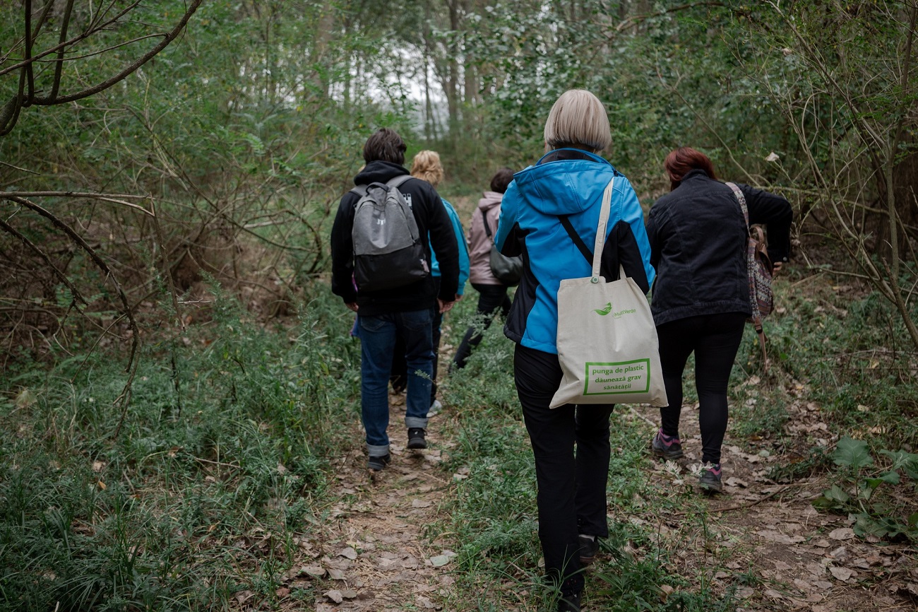
Nature is the main character of Viei Transilvanica. Highlights include the dense forests of Bucovina, the meadows of the Viscri area, the Râpa Roșie near Sebeș and the only 200-year-old sequoia in the Semenic Mountains.
The hiking route passes through 400 villages, such as the village of Inlăceni, with its Unitarian church, but also abandoned villages and traditional villages such as Poiana Negri and Obârșia Cloșani. Included are hostels where travelers can stay.
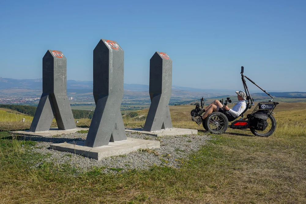
Via Transilvanica milestones, sculpted by several artists, photographed by Google
883 kilometers photographed in a month
To capture the panoramic images of 883 kilometers of the Via Transilvanica, a tricycle dedicated to such projects, a recumbent bike, equipped with a device on which the panoramic camera is mounted, was used. The whole photographing process took about a month and took place in August – September 2023.
In the near future, the Via Transilvanica route will be published on Google Maps as a hiking trail.
Via Transilvanica is a project of the Tășuleasa Social Association, initiated in 2018, with the aim of highlighting Romania’s cultural-historical and natural wealth. The trail is intended for all lovers of hiking, nature and sport, who can cover it at walking pace, by bike or on horseback. At the end of September, Via Transilvanica won the Public Prize at the 2023 edition of the European Heritage Awards, an event organized by Europa Nostra, the largest and most important heritage network in Europe, in partnership with the European Commission.